

WARD RESERVATION & BOSTON HILL
Rolling hills, Boston skyline views and a glacial kettle hole bog.
WALKING TIME 30 MINUTES - 3 HOURS
SIZE 729 ACRES
OWNER THE TRUSTEES
MILES OF TRAILS 13


SUGGESTED WALKS
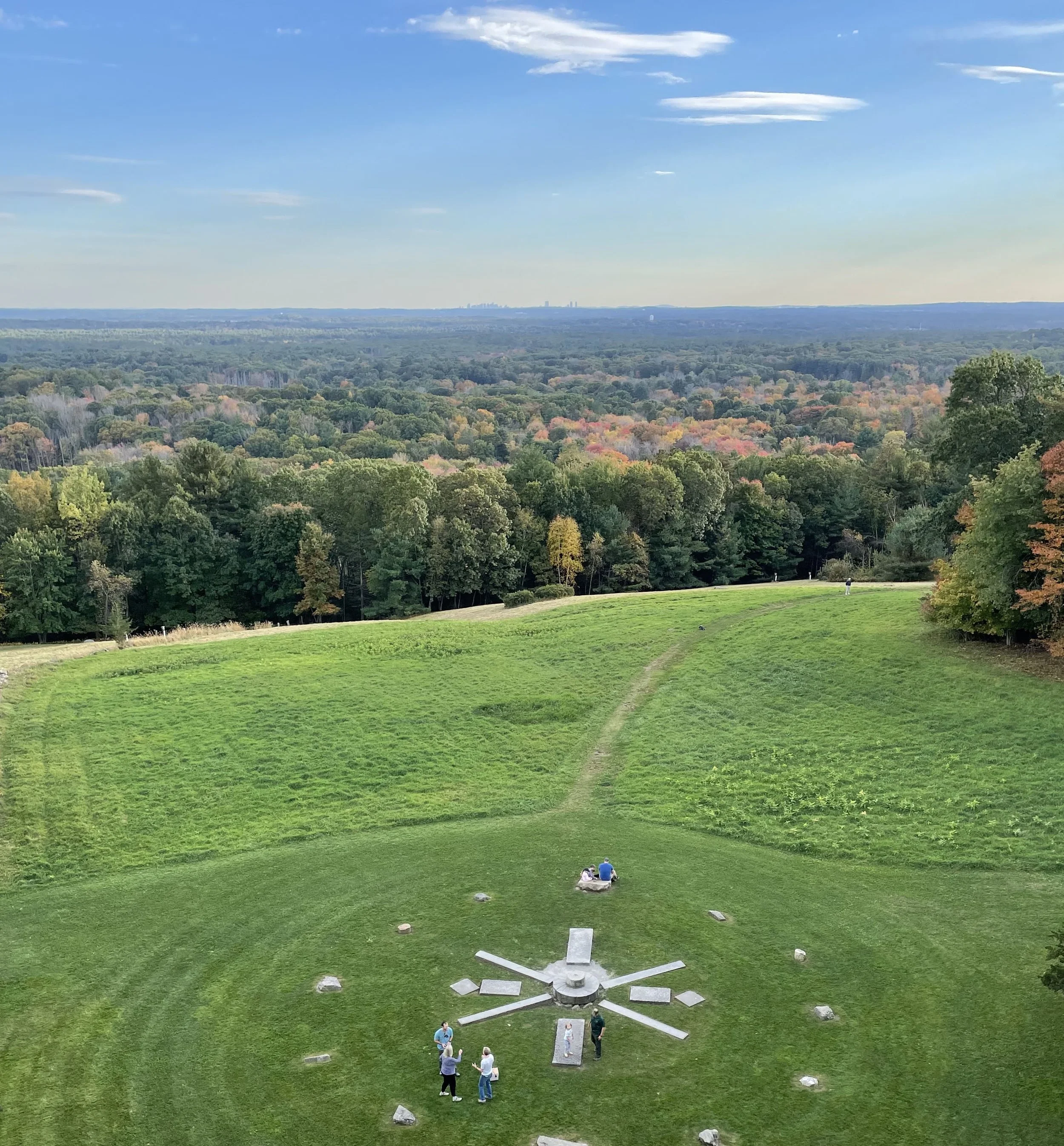
YELLOW LOOP Starting from the main parking area on Prospect Rd, follow the yellow loop trail towards the bog and then to the top of Holt Hill to enjoy the view from the solstice stones. (About 1 mile.)
LONGER HIKES To truly experience Ward Reservation, follow the blue (2.2 miles) or red (3 miles) loop trails. The blue loop will take you to the top of Boston Hill, where another panoramic skyline view awaits from a large clearing at Elephant Rock.
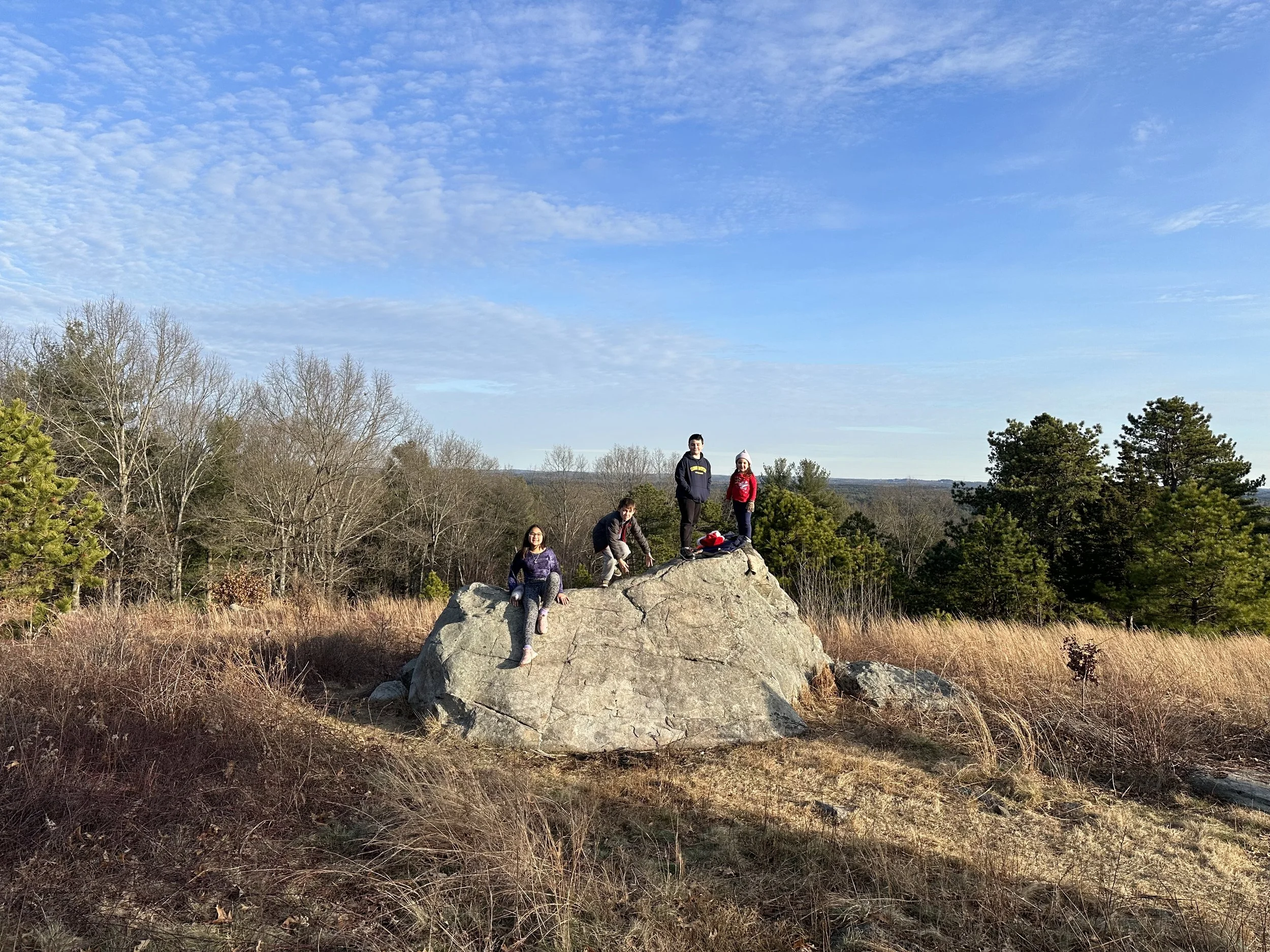
BOSTON HILL The reservation is also accessible from Brightview on Route 114. Park in one the designated spots at the far end of Brightview’s parking lot, and hike up the former ski slope, looking for evidence of the chair lifts and snow making equipment. Make the top of Boston Hill your destination, or pick up the blue loop.
FLORA AND FAUNA
A great variety of wildflowers, including pyrola, hepatica, starflower, lady’s slipper, violets and ferns grow on the forest floor. The reservation’s large size provides a habitat for many area-sensitive forest birds and reptiles. Bluebirds are a frequent sight in the clearings of Holt Hill and Boston Hill, as are butterflies. A small heron rookery can be found in Rubbish Meadow, just off the Ward Trail.
HISTORY
At 420 feet, Holt Hill is the highest point in Essex County. The Boston skyline and Milton’s Blue Hills can be seen from the summit. On June 17, 1775 townspeople climbed to the top of Holt Hill to watch the burning of Charlestown after the battle of Bunker Hill.
Nicholas Holt, an early Andover settler was the original owner of today’s Ward Reservation. His descendants farmed this land until the late 19th century. Charles Ward purchased the land in 1917. His widow, Mable Ward, in 1940, donated the land to The Trustees of Reservations as a memorial to her husband. The Wards had the granite solstice stones assembled on the crown of Holt Hill. The four largest rectangular stones mark the cardinal points of the compass. The other rectangular stones mark the sunrise and sunset on the longest and shortest days of the year.
In 1957, Lincoln Laboratory constructed an experimental radar station on Boston Hill. The primary focus of research was testing the detection capability of long range radar. The large radar antenna has since been removed, but the massive tower still stands. The hillside facing Route 114 was a popular ski area until the 1980s. The Brightview assisted living facility was built at the foot of the hill in 2013, at which point the hillside was permanently protected with a conservation restriction.